|
Written by Lauren McKinney MIT graduate and current Mapzen employee, Brett Camper, has created an online interactive map that allows users to view maps of 18 major cities (worldwide) in 8-bit pixels. The cities are displayed like an 80’s video game. The map allows users to zoom, drag, and search for an address within the city being displayed. Check it out here: http://8bitcity.com/map 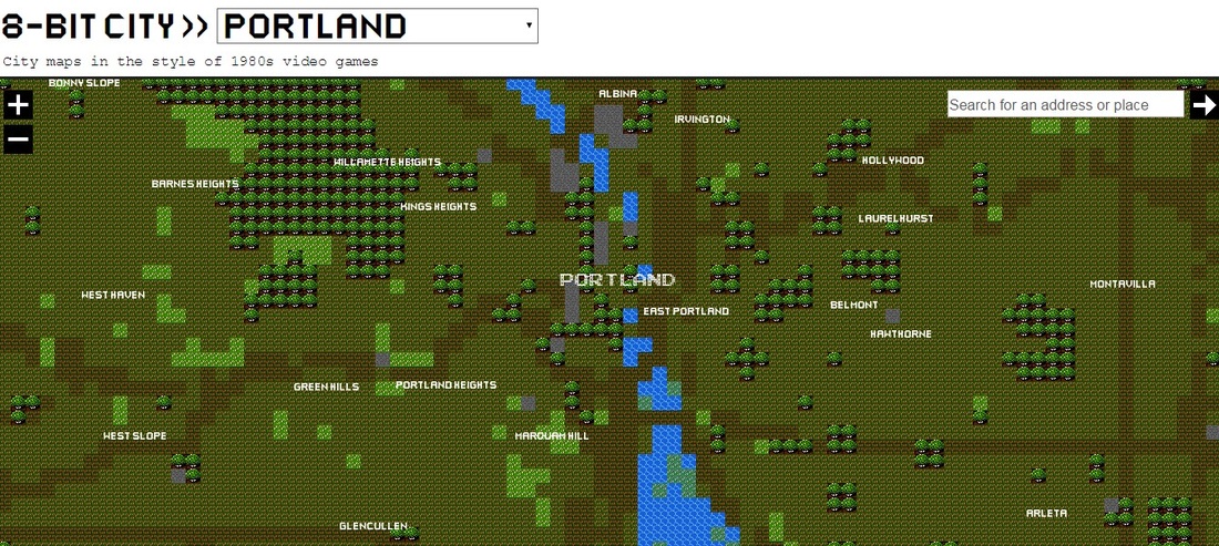 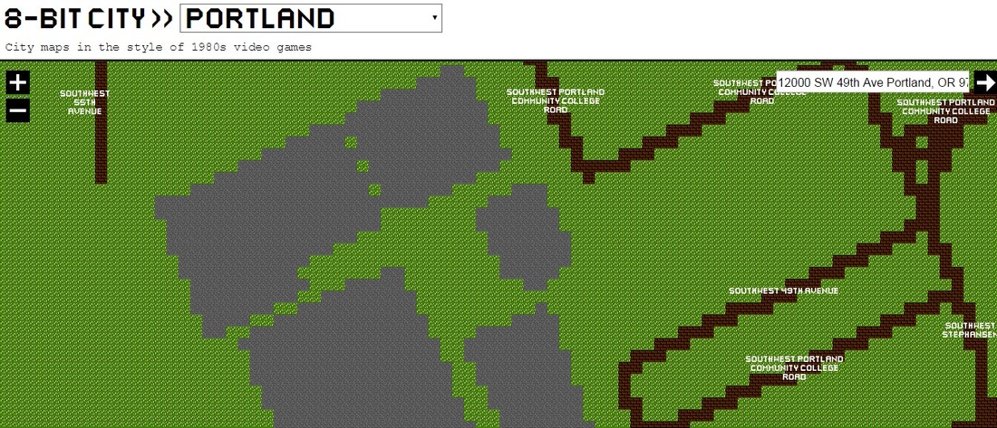 How Was It Made? A detailed description of how the map was made is included in a small button labeled “how?” in the bottom left corner of the map. In essence, the web map was created using OS software, data packages, and a custom rendering machine. The basic geometry of the map came from Openstreetmap. The fonts came from Artist Miffie: http://mfs.sub.jp/font.html (Camper changed some of these). As for map graphics, they were “assembled in Python: for each 16x16 pixel, a series of spatial tests are performed via SQL/POSTgis. Based on these results (what’s here: a road? A park? A lake?) The appropriate bitmap tile is selected” (Camper). 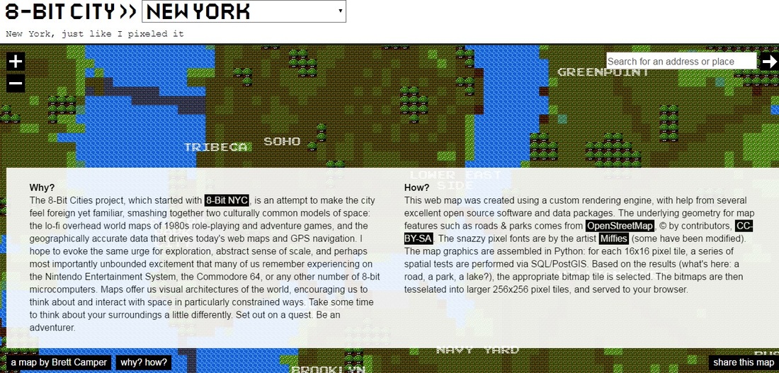 Google: That is so 4 years ago This concept has been explored before by Supreme Overlord Google Maps in 2012. The map was an April Fool’s project and didn’t stick around. It was a map of the world in the style of 1986 role playing game Dragon Warrior. The map (pictured below) included easter eggs like Area 51, the Lochness Monster, and even Dragon Warrior characters. 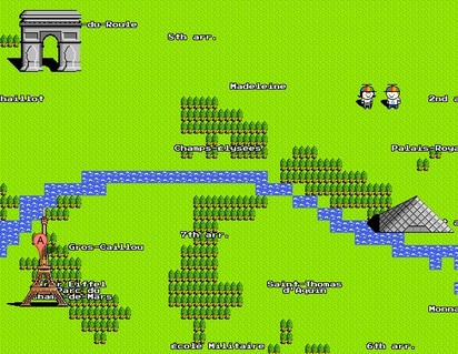 Further Reading
Check out Brett Camper’s projects on his website: http://vector.io/ Or his Github page: https://github.com/bcamper
IMAGES: 8bitcity.com
2 Comments
Gustavo Colmenares
5/29/2016 09:10:51 pm
Nowadays it is interesting the different types of artistic expressions that the earth is represented by using command line, and how great it is to use it to represent the earth how used to be back in the 1980's.
Daniel Schick
5/29/2016 09:20:43 pm
I like the retro-ness of this map! The use of 3rd generation video game graphics to represent a base map is a very interesting concept. I’ll I do not see a practical use for this cartographic style, I do see it as a gateway into getting youth interested in this field. As a child of the video game culture of the 90s, I would have been awestruck that someone was able to create maps of major cities that I only dreamed of visiting. I am also impressed that the creator used vector files from open street map and used python to create the pixelated look of the maps. It would be interesting if the creator of this map continued this map series and created maps using each subsequent generation in gaming. Leave a Reply. |
AuthorBlog posts are written by students in the Interactive Map Design course at Portland Community College. Archives
June 2018
Categories |
 RSS Feed