|
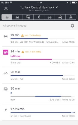
Written by Adrienne Spitzer At this point in our lives we all use some kind of mapping app on a daily basis. Most of the common apps require a Wi-Fi connection to provide accurate traffic data and give you real time turn by turn directions. I have encountered times on road trips and even around Portland where my app stops working because it loses connection and I am left to figure out directions without the help of Google Maps. So, I looked into GPS apps (not just for directions!) that work without internet access and have provided a summary of a few that I think look pretty cool. There are a lot of apps out there that work offline- this is just a summary of a few that are highly rated and seem pretty simple to use. **Disclaimer** I have not actually downloaded or tried any of these apps but I gathered information about them directly from the manufacturer’s website and from reviews by users online. HERE WeGo Rating: 4.5/5 stars Cost: free Compatibility: Requires iOS 9.0. Compatible with Android and iPhone/iPad. Best use: Getting around in foreign countries without internet connection.
Why you want it:
MapOut Rating: 4.5/5 stars Cost: $4.99 Compatibility: Require iOS 7 or later. Compatible with iPhone/iPad. Best use: Best offline mapping using OpenStreetMap.
Why you want it:
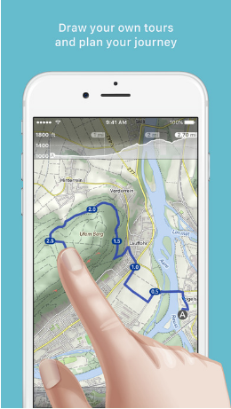
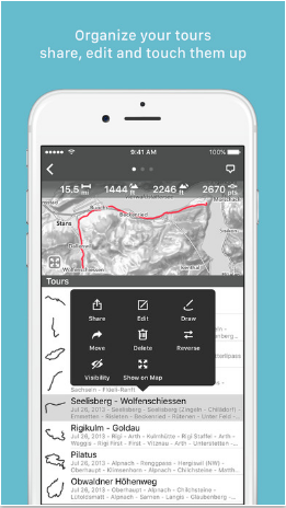
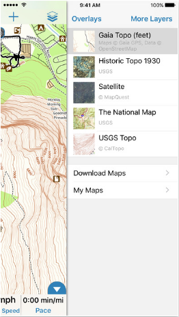
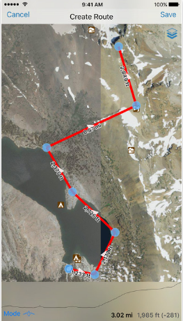
Gaia GPS Rating: 4.5/5 stars Cost: $19.99 Compatibility: Requires iOS 8 or later. Compatible iPhone/iPad and Android. Best use: Best outdoor mapping app for hikers, bikers, and hunters.
Why you want it:
References: http://www.cyclingabout.com/best-offline-gps-apps-smartphone-navigation-apps/ https://itunes.apple.com/us/app/here-wego-city-navigation-offline-maps/id955837609?mt=8 https://here.com/en/products-services/consumer-app/here-wego-app https://itunes.apple.com/ch/app/mapout/id477094081?l=en&mt=8 http://www.mapout.ch/en/
3 Comments
5/4/2017 06:32:41 pm
The GAIA GPS app looks like the best one to me because you can create a trip, store waypoints along with photos. The others didn't say anything about photos. I also liked that you could pull your own in files easily. It looks like you can control the coordinate system too. Great for a wildlife camera data collection program that I am doing where we will be hiking as much as 12 miles with no service to find specific destinations. Thanks for the info!
Haley Jones
5/18/2017 02:52:52 pm
Even though $20 seems expensive for an app (since we're used to downloading almost everything for free), it's really incredible that we can have this kind of technology/information so easily accessible, in our pockets, for so cheap! Thank you for the details, I really want to download one of these now!
Baxter
5/25/2017 09:47:17 am
HERE WeGo sounds like an app I need to download. I always rely on google maps, but it burns through a lot of data and battery. It would be nice to just be able to download a map of Portland and use it offline. Also, I often find myself in places with poor signal, and it is difficult for google maps to load. This is a cool solution. Free too! Leave a Reply. |
AuthorBlog posts are written by students in the Interactive Map Design course at Portland Community College. Archives
June 2018
Categories |
 RSS Feed