|
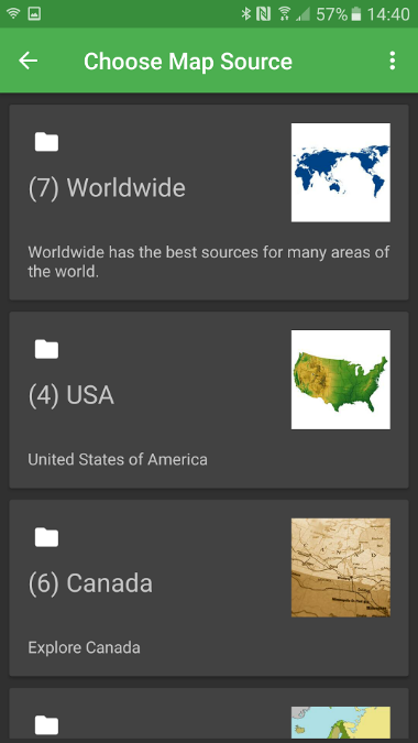
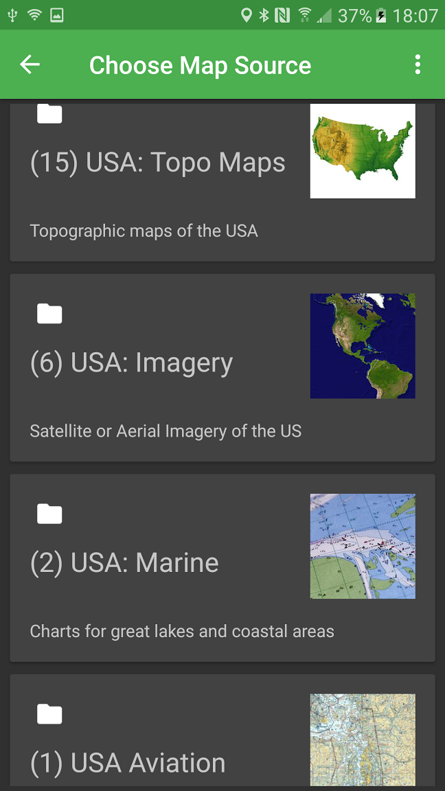
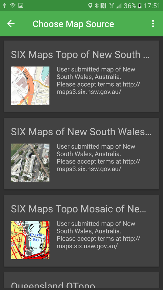
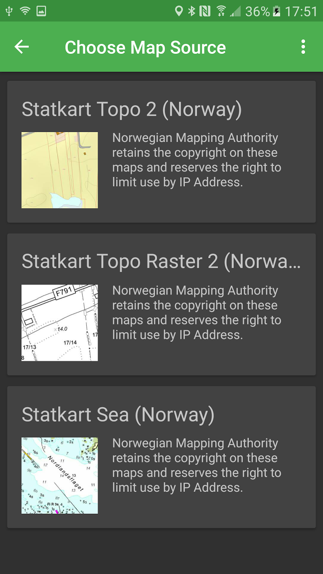
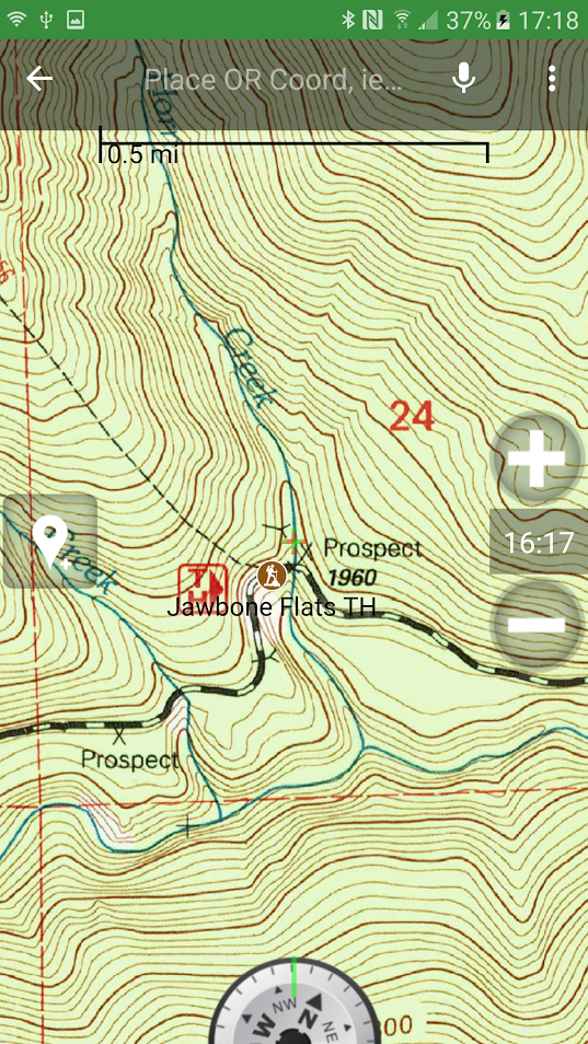
Written by Erin Woolbright BackCountry Navigator is an app for any android device, whether that be a tablet or smartphone. BackCountry Navigator is ultimately not a free app, however you can download the “free” version, but it only lasts 21 days before each map tile is delightfully plastered with the word “DEMO.” To purchase, it’s only $11.99, which is significantly cheaper than another handheld GPS unit. I’ve used both the Garmin eTrex 35t and Oregon 650t and can say that this app is pretty comparable and well worth the price of an expensive 6-pack of craft beer. I was first introduced to this app when my Oregon 650t decided it didn’t want to live on dry land anymore and jumped (re: I dropped it) into a very, very deep lake. Unfortunately, my wanting to save some money after handing over $300 coupled with poor foresight, I didn’t purchase the insurance (ALWAYS purchase the insurance) on it. I downloaded the app on my phone soon after and have been using it ever since. This app is not just for the US, but there’re maps of some kind (with various restrictions) for pretty much everywhere worldwide. Some countries/regions have more maps available than others with differing degrees of precision/extent.
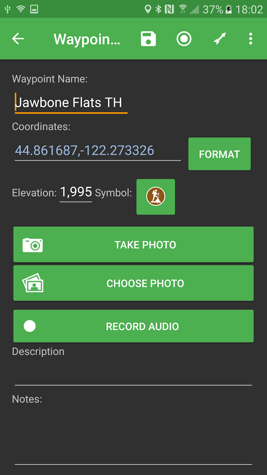
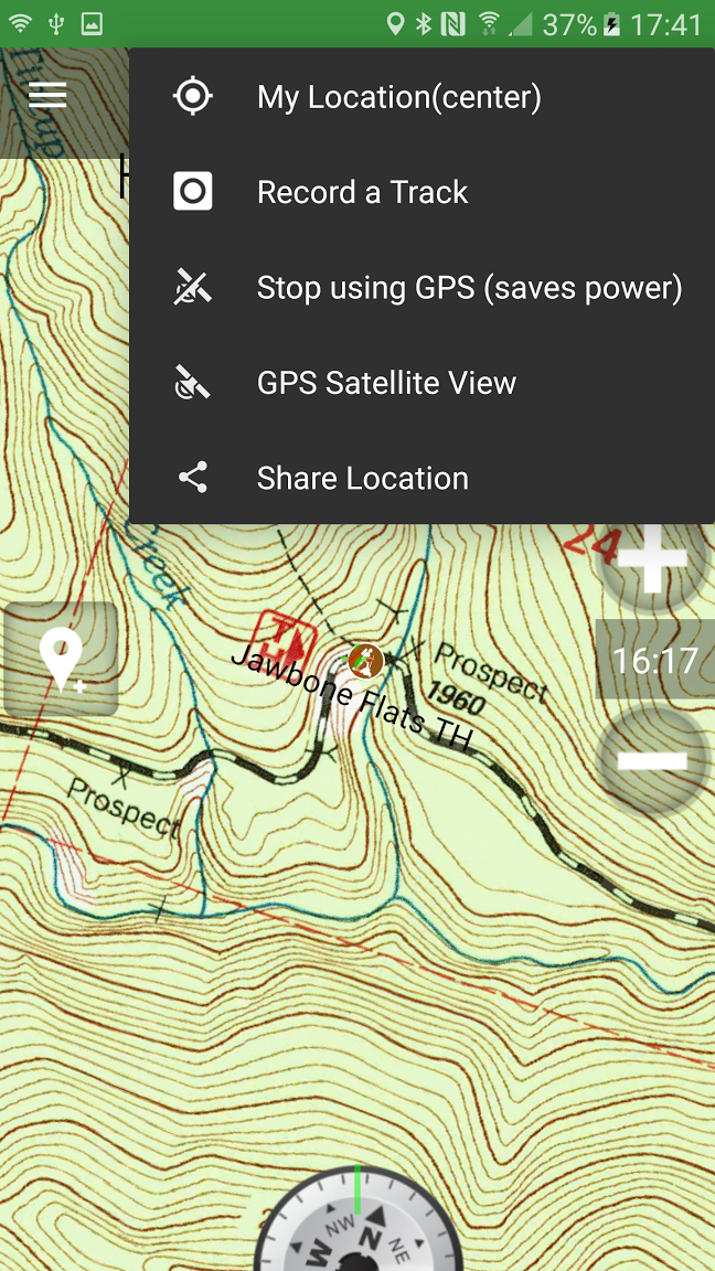
One of the neat things you can do with this app is download maps for offline use as if you’re hiking, there’s a high chance that you won’t have any cell service. As long as you keep your phone/tablet’s GPS on, BackCountry Navigator can still track you on your pre-downloaded maps. When I was living out near Mission Ridge in Wenatchee, WA, I had absolutely no cell service unless I stood in a 4”x4” area near the front of my VW bus. When I was someplace that had service, I would download as many maps as I could of the area so if I decided to go wander, which was often, I wouldn’t get lost. If you’re using this app offline due to no cell/WiFi service, then I highly recommend putting your device in airplane mode and shutting off any unnecessary processes as this eats up battery power. I personally always bring a few USB power banks with me for this reason. Another feature this app has is the ability to track and record the trip. For example, once you get to a trailhead of your choosing, select “Record a Track” and the app will start recording your progress on/off the trail. You can also add waypoints wherever you want by just clicking on the “add waypoint” symbol to the left-center of the screen. You can add a photo or record audio unique to that waypoint if you so choose.
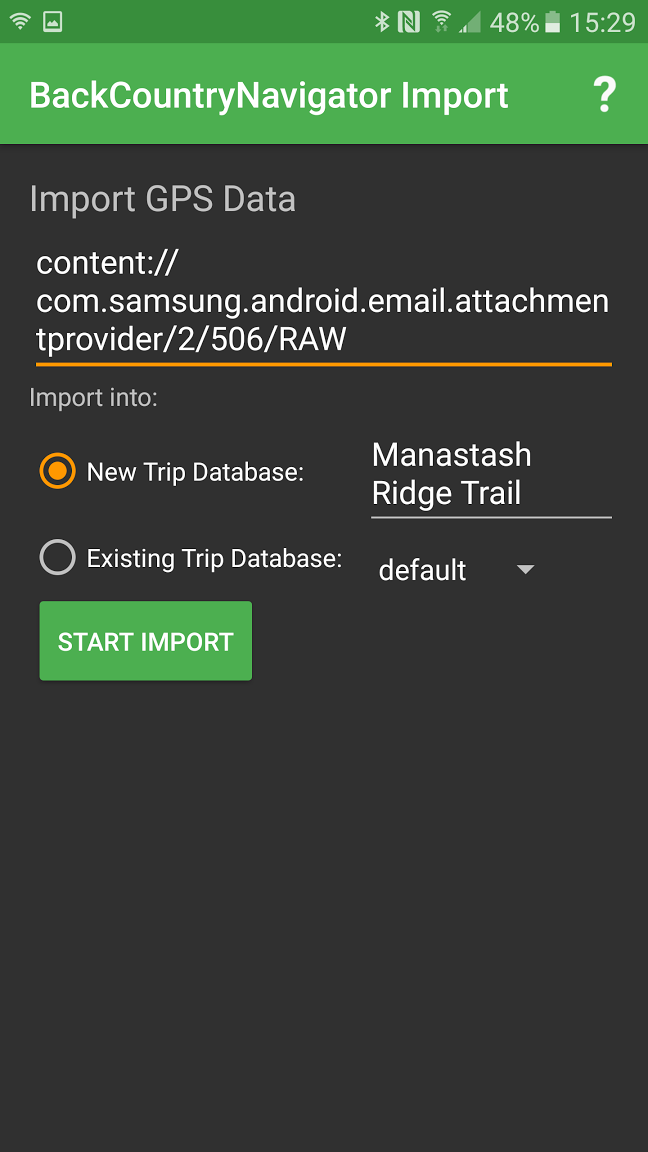
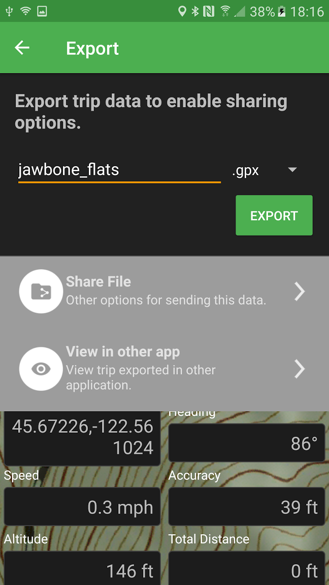
You can also import .gpx, .kmz, or .kml files into the app. It’s a little wonky for sure, but it works. Typically, when I’ve imported trails there are a lot of unnecessary waypoints that I would go through and delete. You can also export your route. To do this you need to connect to a computer or laptop and just search into your device for a folder called bcnav and there you’ll find a .gpx file with whatever name you gave it. You can import those into Google Earth or ArcMap has a conversion tool.
Overall, this is an awesome app to use if you’re outdoors-y. It’s not just for hiking, you can use it for just tracking walks around a neighborhood or cycling. I have a friend who used it when she was looking for relatively easy walks she could take her grandparents on. However, there are a few drawbacks. Some of the maps you do need a subscription to use, such as Accuterra or most of the CalTopo maps. The subscription is for access to those hosting companies, not BackCountry Navigator. Accuterra is something like $20/mo and to my knowledge, both of the subscription-only map providers only cover the US. Don’t get me wrong, they are great quality maps but I’ve done just fine with the non-subscription ones.
Another app called Gaia GPS is also highly rated, however this is a subscription service that costs $20/mo. From what I’ve read, the process of jumping from computer to phone/tablets is a little less jerky, but it’s fairly similar to BackCountry Navigator. My main takeaway from this is that if you want a solid GPS for areas without cell service/WiF and aren’t ready to throw down at least $200 for a separate handheld GPS unit, BackCountry Navigator is the way to go.
1 Comment
Written by Catrina McDermott Have you ever sat with some data and wanted to share it with a bunch of other data geeks? Well, have no fear, the twitter world of data is here! Data.world is a free online resource that may be used to share and obtain data. Setting up an account is incredibly easy, all that is needed is an email and username. Prompts are put in place in order to further customize the type of data that is initially shown to the user, asking what types of information is most interesting to the new user. After going through the initial set up, you’re prompted to begin following other users. Doing this will add stories to your main page, which also has a side bar with subjects of data available. All data is categorized by tags that are created by the user that input said data. 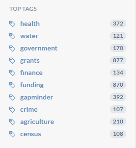 Similar to other interactive sites, the user has the option to publish data either to the general public, specific users, or just themselves if the information is still being worked on. The site accepts all forms of data, such as csv, json, and xml. 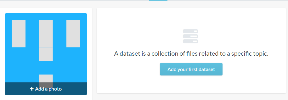 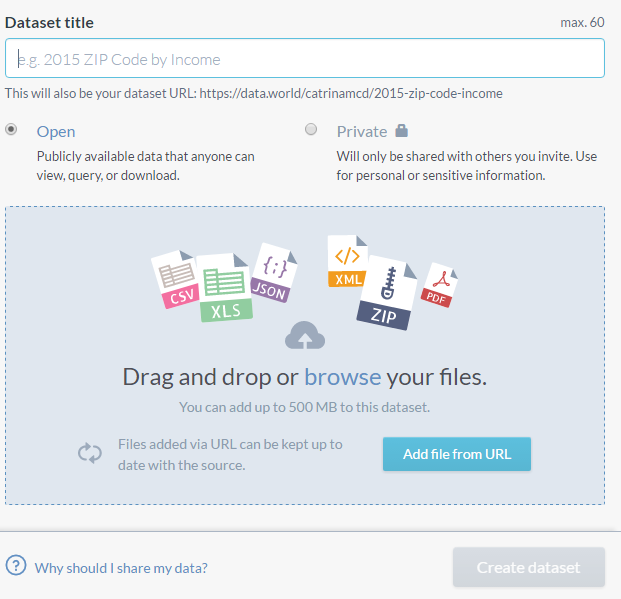 Data.world also has a connection with Tableau, where a user has the ability to take the data within the data.world website and create something more visually pleasing to show the information. Any data that is used with this connector is automatically updated daily to ensure that the information is up to date. Data added to this website may also be connected to google sheets, and OData.  Personally, I see this website as a great tool to get your name out into the data world. There is an option to work with other users and their own projects.  While I wouldn’t use this website as a means to store all personal datasets, it is a great resource for accessing and sharing with others. Getting your hands on data shouldn’t have to be a while goose chase. Creating an open and trendy format for the public to share data is the one goal of this site, and so far, they are succeeding.
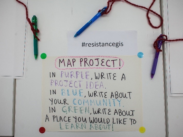
Source- https://data.world/ Written by Sam Moore On the morning of May 20th, I carried a box of food from a car into Shattuck Hall at Portland State University. The walls of the room where the food was lain were decorated with maps and butcher paper where people could write feedback.
Resistance GIS https://resistancegis.wordpress.com/ was a grassroots event that created a discussion about using GIS for purposes more constructive than resource extraction, commodity consumption and surveillance.  Organizer and keynote speaker Sachi Arakawa. Photo by Katey Bisso For example, speaker Veronica Velez shared how she used cartography to assist a Latinx community in its struggle for educational opportunity equality. She advised the audience to become an integral part of the community with which one collaborates. Do not play baseball- that is, don’t be an opportunist who is “helping” for personal gain and is liable to run when staying becomes inconvenient.
Another presentation that I found inspiring was made by Erin McElroy. She introduced me to the Anti-Eviction Mapping Project. This endeavor is the product of a small collective that is using interactive maps personal stories, and direct action to illuminate the injustices perpetrated by landowners upon the dispossessed in California. There was ample time to meet one another, share our interests and skillsets, and chat about the topics raised over the course of the conference. The idea that we have the capacity to become a force of change by helping the underrepresented speak for themselves gives me hope for a better future for our nation and the world. Written by Dylan Carlson Fulcrum is an app that can be used across many industries from network analysis to natural resources and invasive plant location, tracking and mapping. I use it daily for tracking garlic mustard (a bad bad plant; Do Not Eat!!!). We can set up a data dictionary with drop down menus fully customizable. 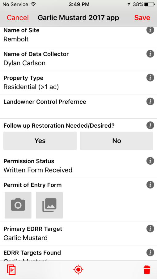 The items with the i icon are required, and photo points are also geo-located. We also put the tax lot layers from RLIS with the participating owners giving permission in green and the ones that opt out in red. There are several years shown by different color pins, so we can look back at say 2015 and look for marked plants and go back to survey and follow up to see if there are more, less, or the same amounts of infestation (most helpful feature in the field). 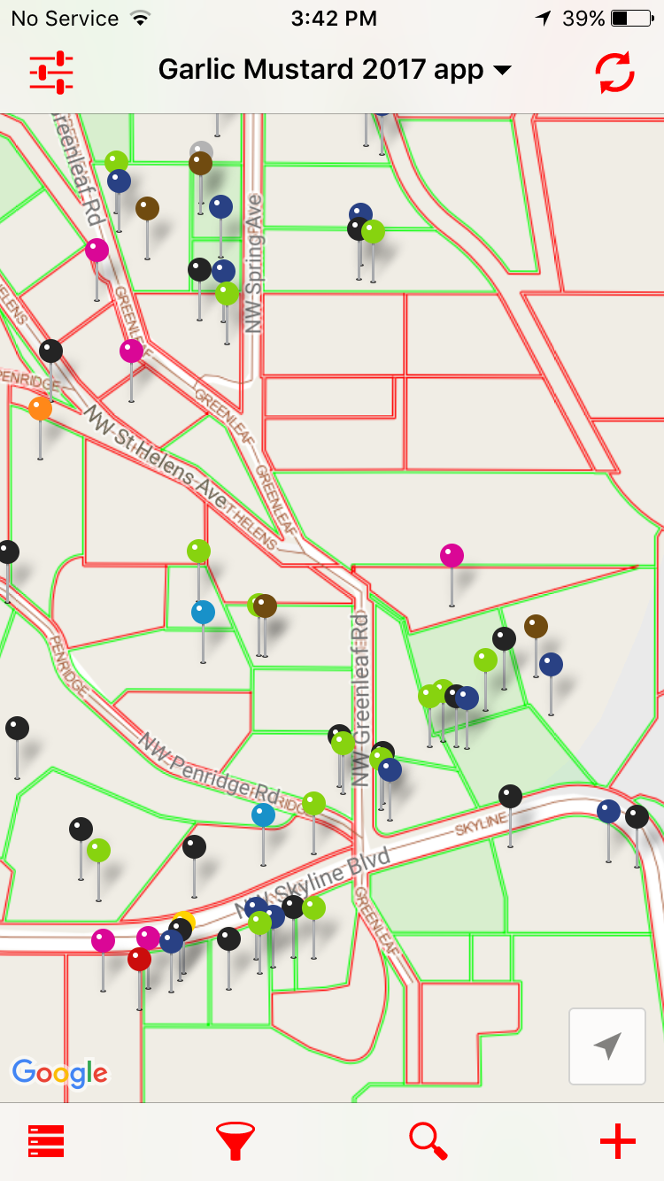 It also works offline when there is no service to our devices. Then we can generate reports in PDF formats to pass along to board members or stakeholders/landowners. Fulcrum also can export the data in several formats (CSV, shapefiles, and google earth). Most the time it’s better that the good ol paper…  |
AuthorBlog posts are written by students in the Interactive Map Design course at Portland Community College. Archives
June 2018
Categories |

 RSS Feed