|
Written by Kaitlyn Zurcher I decided to go with a web mapping service that I use quite a lot for my work in a Wetland Delineation company, the “Web Soil Survey” that is provided by the USDA. Its main purpose is for people who need to know what type of soils are in any particular area. When you first open the website, it shows a page that welcomes the user to the map and gives examples of why you might need to use the data and how they collected the data. As you scroll down the page, it then gives you the four basic steps that you would need to go through to create your maps and gather your data. Once you feel as though you understand what the program is, you can press the big green button at the top of the page to actually get to the map. 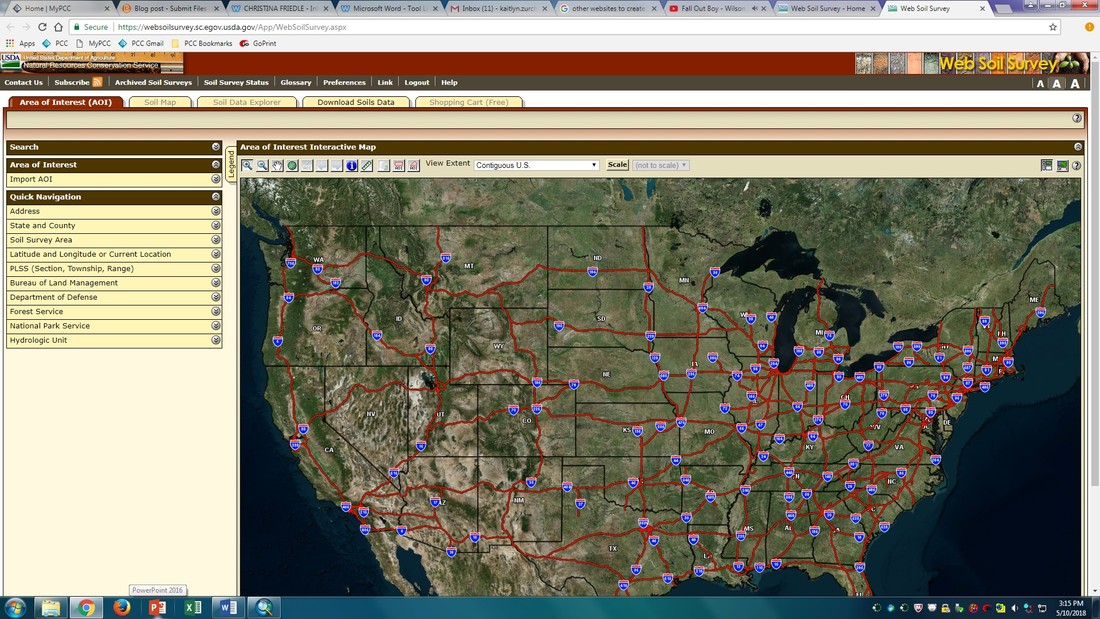 You can get to your area of interest multiple ways, you can import it from a shape file, or you can manually draw the AOI by going through the quick navigation. When I’m using this for work, I use the PLSS (Section, Township, Range) because I’ve found that when you put in an address an orange circle appears on the map and no matter how many buttons I press it doesn’t go away. 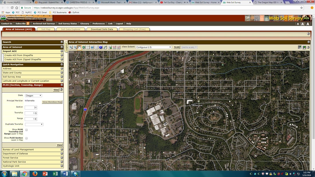 After, you can either create a custom area, or you can use a rectangle. Once you’ve created your AOI, it allows you to open up the greyed out tabs at the top. 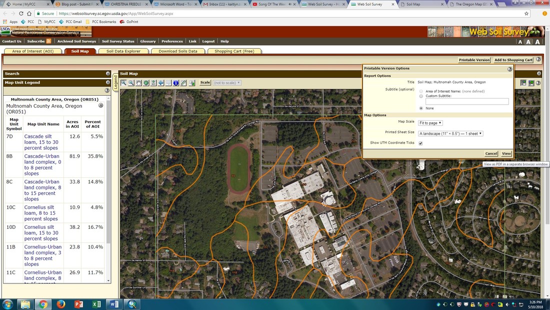 The soil map tab brings up a layer that shows you what types of soils are in any particular area. At this point you can print the study area as a .pdf by clicking the “Printable Version” button at the top of the screen. The printable version gives you the study area and the map unit Legend. By going through the other tabs, you can gather more information about the different types of soils. In my job, I do need to determine what soils are Hydric or not, which you can find by going through the Soil Data Explorer to find the soil report of the area. This mapping service is really only applicable to people who need to know the soil types of any particular area. But I do think that the user interface is pretty easy to understand and there is a lot of information that is inside of it that is useful. Below is a map that I created of the soils area so that you could see what the final product looks like. 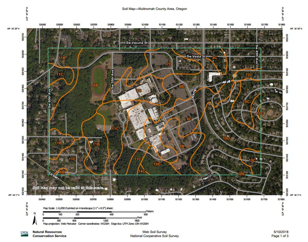 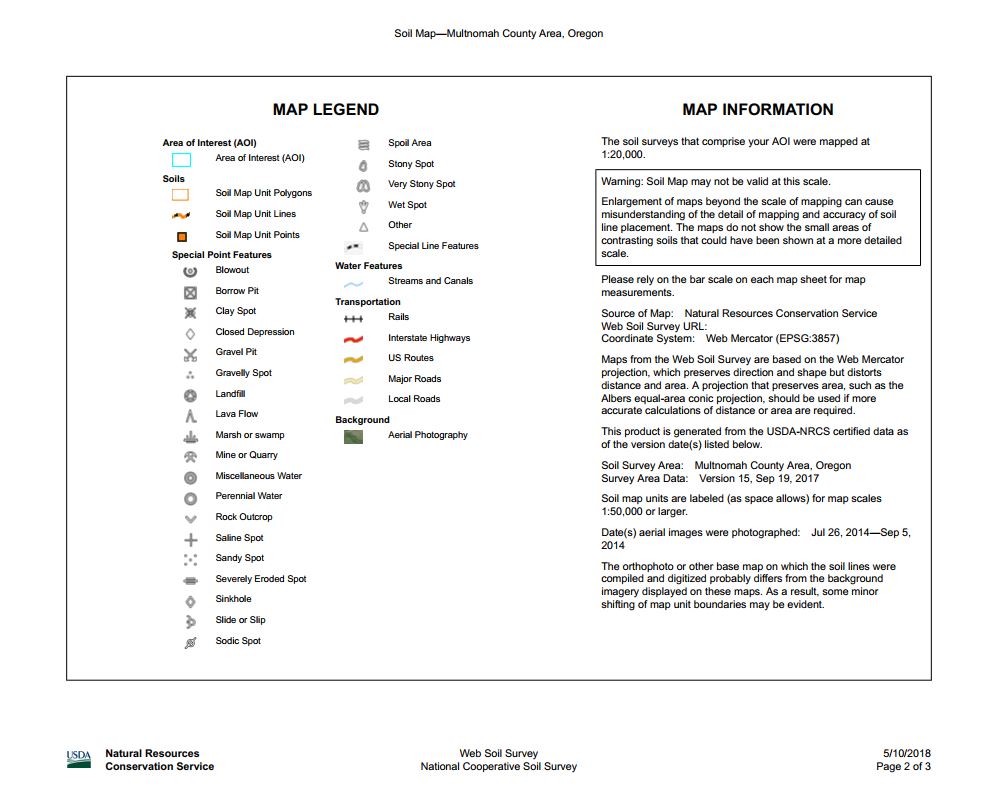 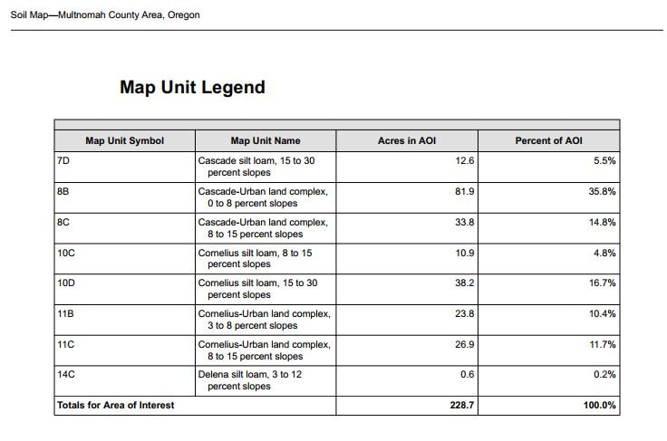
2 Comments
Matt Lackey
6/5/2018 02:30:19 pm
This is a cool way to display a lot of information. I like how it includes slopes along with the soil type.
TJ Hutchisson
6/12/2018 11:34:00 pm
I use web soil survey for work, too! I do some occasional work for an agricultural consulting company writing DEQ permits for the application of biosolids. A big part of the permit is generating soil maps for each individual field. I definitely find the interface user friendly, while still providing a lot of useful information. Leave a Reply. |
AuthorBlog posts are written by students in the Interactive Map Design course at Portland Community College. Archives
June 2018
Categories |
 RSS Feed