2022 College Scholarship available through the Clackamas Conservation District (April 3 deadline)2/28/2022
https://conservationdistrict.org/2022/2022-scholarship-application-available.html
The Clackamas Soil and Water Conservation District (CSWCD) is pleased to announce our scholarship for the 2022-23 school-year. The District is committed to supporting local students who care about our natural resources, want to promote conservation, and can impact future natural resource decisions. This year, one $3,000 scholarship will be offered to a college student majoring in the field of agriculture, natural resource science, or a related discipline. Why Offer a Scholarship? Clackamas County ranks in the top five Oregon counties in agricultural sales. It is well known for its abundance of natural resources, including popular recreation areas. It is also a drinking water source for the Portland metropolitan area. The CSWCD Board of Directors wants to provide financial resources to help support future conservation professionals. This scholarship is a win-win for students and the future of natural resources in our District. Who is Eligible?
ASPRS Scholarship Application Tips! Want insight on applying for ASPRS scholarships? Come to our event on October 4th from 2-3pm! We will have ASPRS representatives present to answer any and all questions. And, we will have a past scholarship winner to provide insight! Register here! Scholarship Application Tips (asprs.org) - be sure to log in! When: October 4th, 2pm-3pm Where: zoom  More info on ASPRS scholarships:
ASPRS is pleased to offer ten scholarship awards totaling more than $38,000 in value! Available to both undergraduate and graduate student members of ASPRS, these resources have been generated with the intention of advancing academic and professional goals in the geospatial sciences. ASPRS recognizes that students are the future of these rapidly evolving fields and encourages all who are qualified to take advantage of these unique opportunities. Scholarship Application Window: September 22 – November 8 Letters of recommendation due November 12 More info here: ASPRS Awards and Scholarships – ASPRS Please help us spread the word about the new PSU EAGLES scholarship
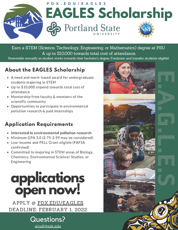
<https://sites.google.com/pdx.edu/eagles> funded by the National Science Foundation, a Partnership between Portland State University and Heritage University. WE ARE NOW ACCEPTING APPLICATIONS! Through the EAGLES Scholarship, undergraduate students can earn their degree in one of PSU’s STEM (science, technology, engineering or mathematics) majors– Biology, Environmental Science/Studies, Pre-Engineering, Computer Science and Mathematics– *with no out of pocket cost for tuition*. Twenty EAGLES Scholarships will be awarded annually over the next 4 years. These scholarships are renewable annually while a student works towards their bachelor’s degree. The EAGLES Scholarship is a *need- and merit-based award* that, when combined with federal and state grants, c*overs the entire cost of tuition and fees at Portland State University*. In addition to the financial award, EAGLES scholars receive mentorship from faculty and members of the scientific community as well as opportunities to participate in special environmental pollution research, and paid internships. The early deadline to apply is December 15, but we will continue to accept applications until vacancies are filled. The application can be found here <https://sites.google.com/pdx.edu/eagles/apply>. *EAGLES Scholarship Details* *APPLICATION REQUIREMENTS:* · Minimum cumulative GPA 3.0 (GPAs of 2.75-2.99 may be considered under certain circumstances) · Low-income and PELL Grant eligible · Committed to majoring in one of the STEM studies areas (Biology, Environmental Science/Studies, Pre-Engineering, Computer Science, Mathematics) · Interested in summer research experiences with emphasis on environmental pollution/sustainability · Complete EAGLES application and submit personal commitment statement · Submit Portland State University <https://www.pdx.edu/admissions/apply> Application · Submit FAFSA <https://fafsa.ed.gov/> and list Portland State University · Submit current official transcripts The Clackamas Soil and Water Conservation District announces its 2020 Scholarship Program.
The District is offering 2-$3,000 scholarships for students who will be a sophomore or greater, including graduate student for the 2020-21 school year. Applicants must be a graduate of a Clackamas County high school or a current resident of Clackamas County. Additional information can be found on our website at: https://conservationdistrict.org/2020/2020-scholarship-application-available.html Apply now for the 2019 WAML Diversity and Early Career Librarian Scholarships!
The Western Association of Map Libraries (WAML) is an independent association of map and geospatial librarians and other people with an interest in maps and geospatial librarianship. WAML is committed to actively encouraging diverse voices and new perspectives in the field of map and geospatial librarianship and within our organization. We are excited to announce two scholarships to attend the 2019 annual WAML conference in Reno, Nevada this September 18-21. Each scholarship includes a stipend of $750 for costs related to the conference (lodging, travel, etc.), a one-year membership in WAML, and free conference registration and banquet ticket. The application deadline is Thursday, July 1, 11:59 PM (PDT). Learn more and find the application links at: http://www.waml.org/mbrinfo.html#Scholarships Feel free to contact Philip White (Scholarship Committee Chair) at philip.white@colorado.edu or 303-735-8278 with questions about the program or application process. Hostelling International has an opportunity to earn a $2,000 travel scholarship to venture abroad:
Portland is offering 4 $2,000 travel scholarship exclusively for Portland area residents. The program is called Explore the World, and it’s administered by the nonprofit organization, Hostelling International USA (HI USA). HI USA is committed to creating a more tolerant world, and these scholarships are for young travelers inspired to make the world a better place, but lack the financial means to go abroad. The scholarship is open to individuals, ages 18-30, who will engage in an educational or service learning component during their trip. Eligible candidates must also meet specific financial need requirements. More information can be found at www.hiusa.org/travel-scholarships. Application deadline: March 2, 2019 The Scholarship Committee at the American Society for Photogrammetry and Remote Sensing (The Imaging and Geospatial Information Society) wanted to remind you that the scholarship application window is open for the 2019 award year.
Awards will be presented at the ASPRS Annual Meeting, which will be held on January 28-31, 2019 in conjunction with the International LiDAR Mapping Forum (ILMF). Scholarships ranging from $2,000 to $7,000 are available to current students studying imaging, GIS, remote sensing, photogrammetry, surveying, and related digital spatial sciences. Applications are due by October 26, 2018, and letters of recommendation can be submitted by October 31, 2018. Please go to https://www.asprs.org/education/asprs-awards-and-scholarships to learn more about scholarships that are available. NERI (http://www.nweri.org/) is offering a $1,000 grant to an individual in honor and memory of Brenda McGowan, a NERI supporter and co-founder of the Herbert Prescott Bluebird Recovery Project in 1987(www.prescottbluebird.com).
Click here for the grant application. The Scholarship Committee at the American Society for Photogrammetry and Remote Sensing (The Imaging and Geospatial Information Society) wanted to remind you that the scholarship application window is open for the 2018 award year.
Awards will be presented at the ASPRS Annual Meeting, which will be held on Feburary 5-7, 2018 in conjunction with the International LiDAR Mapping Forum (ILMF). Scholarships ranging from $2,000 to $7,000 are available to current students studying imaging, GIS, remote sensing, photogrammetry, surveying, and related digital spatial sciences. Applications are due by October 18, 2017, and letters of recommendation can be submitted by October 21, 2017. Please go to https://www.asprs.org/awards-and-scholarships/student-scholarships-2018-opens-september-1-2017.html to learn more about scholarships that are available. Thank you on behalf of ASPRS Scholarships and Awards. If you have any questions please feel free to email ASPRSScholarships@gmail.com and Scholarships@asprs.org. |
Categories
All
Archives
March 2024
|
 RSS Feed