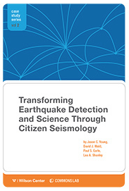
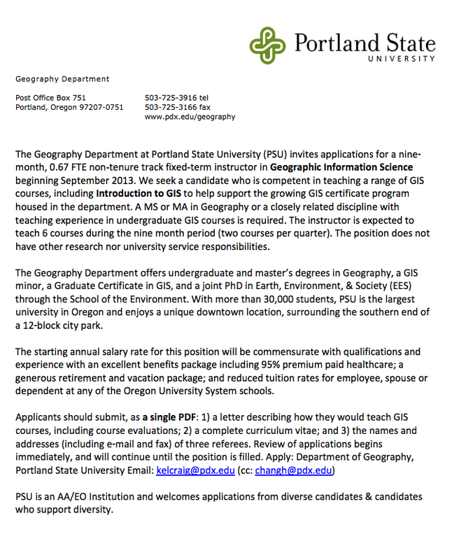
 "The U.S. Geological (USGS) and other scientific institutions are using social media and crowdsourcing to learn more about earthquakes, according to a new report. These techniques provide inexpensive and rapid data to augment and extend the capabilities provided by traditional monitoring techniques" To continue reading: http://wilsoncommonslab.org/2013/07/10/report-looks-at-successful-government-crowdsourcing-efforts-for-earthquake-monitoring/_  Participate in planned capital, strategic, and operational projects; including advanced enterprise system maintenance and implementation activities. Evaluate and deliver efficient high-end analyses, web and/or mobile applications. Create data integration and visualization products. Work with GIS team to develop standard methodology and documents for production requests and internal processes; Work closely with business lines to support best practices related to spatial information management, application optimization, business processes and issue resolutions (includes needs analyses, gathering requirements definitions, use case development, creating functional specifications and conducting cost/benefit or ROI analyses). Assist with training and tutorial design; development of end user application help content; provide both complex and simple support to end users. Proven experience working in a GIS enterprise systems development life cycle (SDLC) environment leading the design and development of GIS applications including, programming, configuration, testing, implementation and on-going support Bachelor's degree in geography, computer science, or a related field required. Minimum of five years of progressively responsible work experience in the technical implementation and support of enterprise GIS applications and business-related applications of GIS; or an equivalent combination of education, training and experience. Must possess and maintain a current, valid Oregon or Washington State driver license, or be able to obtain one within 60 calendar days. Ability to obtain and maintain a security clearance for unescorted access to secured Port facilities. GISP certification preferred. Advanced knowledge of: Enterprise GIS systems, geospatial information management and related enterprise level systems produced by ESRI, in particular ArcGIS Server, Image Extension, Workflow Manager, ArcSDE, MS SQL Server, database schemas and ArcInfo Follow link for more info and application information: http://careercenter.aaae.org/jobs/5541237/gis-analyst-iii  Here is an opportunity to work as a Contractor with the Portland, OR BLM office. If you are interested, contact: Louis Fleske Program Manager Glacier Technologies, LLC 8276 Brigantine Drive, Colorado Springs, CO 80920 Office (719) 531-7308 Work cell (719) 659-1312 STATEMENT OF WORK GENERAL The BLM requires contractor services of one individual to work with the Mobile GIS lead to research user requirements, and document and test the BLM suite of Mobile GIS/GIS software tools, using Environmental Systems Research Institute (ESRI) and Trimble COTS desktop software as well as ESRI ArcPad10 and emerging mobile softwares on multiple operating systems. Services are also needed to research and write curriculum and train nationally on mobile GIS systems as a live instructor, through internet courses or through self-study courses. This task order consists of a one (1) year base period and four (4) one year options. MAJOR TASKS The Contractor shall perform the following on the Mobile GIS project.
MINIMUM REQUIREMENTS: Contractor personnel shall possess the following skills and abilities:
The contractor may possess the following skills and abilities. These skills are beneficial but not required:
PLACE OF PERFORMANCE The employee will be physically located at an off-site location but available to attend regular face to face meetings at the BLM State Office at the 1220 SW Third Avenue Portland, Oregon 97201 during the performance period. It is at the government’s discretion to eventually provide a workspace in the BLM offices. Whether on-site or off-site, the contractor must work on a government-furnished computer and complete all training and clearances for access to the government computer network, digital work and storage space and access to servers and printers. The government will also provide access to mobile GIS hardware and software. Other proposed locations of work shall be approved by the COR. TRAVEL The BLM will not provide transportation. There may be required travel during the duration of this work assignment. Travel is generally in the states of Oregon and Washington. Travel may also be required throughout the United States. Any travel that is required by task assignments shall be paid at rates consistent with the Federal Travel Regulations. Travel shall be made as an equitable adjustment to the contract. WORK HOURS The Contractor personnel shall work an estimated 40 hours per week between the hours of 8:00 AM and 5:00 PM, Monday through Friday. Alternate work sites may be allowed if approved by the COR. The Contractor shall not report to the designated place of performance on weekends, Federal holidays, or when the Edith Greene Wendell Wyatt Building, 1220 SW 3rd Avenue, Portland OR is otherwise closed. Overtime shall not be allowed.  This is for handling Law of the Sea oceanographic data... Geographic Information Systems Officer, P3 United Nations NEW YORK You can view and apply for this job at: https://inspira.un.org/psc/UNCAREERS/EMPLOYEE/HRMS/c/UN_CUSTOMIZATIONS.UN_JOB_DETAIL.GBL?Page=UN_JOB_DETAIL&Action=A&JobOpeningId=28493&SiteId=1&PostingSeq=1  OCHA just opened a vacancy on their Advocacy and Visual Unit to work making maps and data visualizations. The position is a P-2, meaning that they only require 2 years of experience to apply. They are looking for quite great candidates that dominate mapping software (ArcGIS mostly), but also has knowledge on HTML,CSS and MapBox/TileMill. If you are interested and have the qualifications, please check the following website: http://reliefweb.int/job/589690/associate-information-management-officer-p-2  The Maricopa Association of Governments (MAG) is accepting resumes for a paid internship with the Information Services Division. The intern will assist with data collection, development, and analysis utilizing GIS software. The ideal candidate will be a current student who is research oriented, have spreadsheet/database skills and be familiar with GIS concepts. Experience working with Microsoft Excel, Microsoft Access, and ESRI GIS products is required. Length of internship will be determined based on candidate's preferences, qualifications and performance. For instructions on how to apply, go to http://www.azmag.gov/Administration/jobs.asp?a=v&i=2045  Elance is a website for freelancers to find projects and they have a section for GISers. Check them out! https://www.elance.com/r/jobs/q-gis/  Here is an interesting post written by Joseph Kerski on spatial data after the ESRI User Conference this past July. http://spatialreserves.wordpress.com/2013/07/22/reflections-on-spatial-data-from-the-2013-esri-international-user-conference/  About the Internship Position: Save The Bay seeks a highly motivated individual to support Save The Bay's Habitat Protection and Restoration Program in a statewide assessment of salt marsh conditions. Save The Bay is working in coordination with a number of state and federal entities to assess the extent to which rapid sea level rise is impacting our coastal marshes. A GIS intern will assist in assessing those impacts easily documented in aerial photos as well as buffer condition. This internship is an excellent opportunity for a driven individual to have a hands-on role in ecological restoration efforts, to gain an understanding of practical GIS applications in "real world" projects, and to receive experience with database and project management and environmental problem-solving techniques. Primary Responsibilities: Photo-interpretation of salt marsh vegetation and manmade alterations Buffer condition assessment Ground-truthing to verify photo interpretation in the field Deliverables include shape files, and digital georeferenced photosQualifications: College students, recent graduates, graduate students or beginning professionals working towards or having obtained a BA/BS or higher degree in biology, education, marine studies or related field. Grade point average of 2.75 or higher out of 4.0 A demonstrated commitment to the local environment Computer experience (MS Office, database spreadsheet) Skills: A positive attitude and ability to work in a team environment Demonstrated commitment to ecological restoration Strong GIS skills; conversant with GIS applications, including ArcGIS 10 Undergraduate or graduate classes in GIS, botany or plant taxonomy, or work related experience Excellent communication/writing skills, & field experience preferred Strong communication and writing skills. Must have ability to occasionally work independently and have initiative. Well organized and efficient Work well in a high-energy, fast paced environment. Willing to do some manual labor, lifting, and get dirty. For more information, view the full employment listing by clicking here. |
Categories
All
Archives
March 2024
|

 RSS Feed